|
Airport Identifier: 5NC2 (formerly 31A)
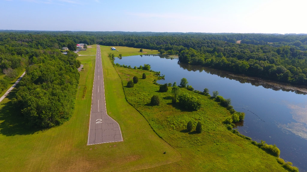
CTAF/Unicom: 123.00 Lat/Long: N35 59.0917' / W80 30.6850' Field Elevation: 731 ft. Location: 6 mi. NE of Mocksville, NC Runways: 02L / 20R (paved) 2424 x 36 ft. 02R / 20L (turf) 1000 x 30 ft. Traffic Pattern: Right traffic for 02 Left traffic for 20 Pattern altitude: 1700 MSL Recommend landing Ry 02 and takeoff Ry 20 due to trees at end of Ry 02. Expedite take-off on Ry 20, as pilots approaching to land on 20 may not see planes at the north end because of trees. Pilot Controlled Lighting: Low intensity, lights on: 5 clicks Lights off: 7 clicks 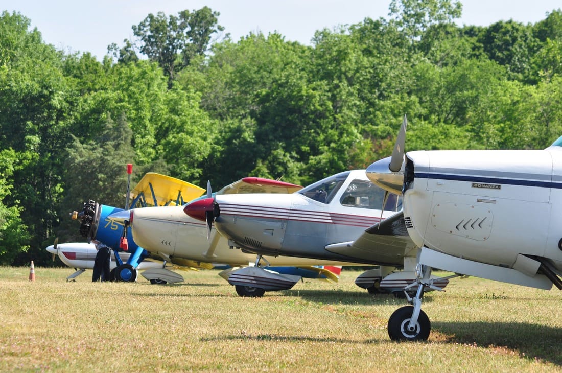
|
Plane Parking Areas FSS: Raleigh (RDU) 1-800-WXBRIEF NOTAM Facility: RDU ARTCC: Atlanta (ZTL) Area Voice Communication Information (PDF) GlobalAir airport resource information, with links to area fuel prices, etc. Sugar Valley offers open T-hangar and enclosed hangar spaces. Availability is limited. Please inquire. |